
Deeper bodies of water tend to warm up more slowly and support unique forms of life.
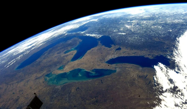
The Great Lakes are one of the most distinctive and significant natural features of North America. Together, they contain about 20% of the planet's surface freshwater supplies and span over 243,000 square kilometers. Although they are often considered a single system, each of these lakes has its own unique underwater topography.

The infographic above shows the maximum depth of each of the Great Lakes, vividly highlighting the striking contrasts shaped by glaciers, geological processes, and the passage of time.
The data for the visualization is provided by WorldAtlas and is based on measurements from NOAA, as well as geographic data from Natural Earth. The undisputed leader in depth is Lake Superior. With a maximum depth of 406 meters, it is not only the deepest of the Great Lakes but also the deepest freshwater lake in the United States. Its colossal volume is such that it contains more water than all the other four Great Lakes combined.
Why does depth matter? It plays a key role in shaping water temperature, its circulation, ecosystems, and even shipping routes. Deeper lakes tend to warm up more slowly and support unique forms of aquatic life compared to shallow ones.
Lake Michigan ranks second in depth at 281 meters. Unlike the others, it is entirely located within the United States. Its depths support intense commercial shipping routes and a diverse aquatic ecosystem.
Lake Ontario follows with a maximum depth of 244 meters, despite being the smallest by surface area among the Great Lakes. Lake Huron, reaching a depth of 229 meters, seems shallower in comparison, but due to its extensive size, it also holds vast volumes of water.
Lake Erie stands out as the shallowest of the Great Lakes: at its deepest point, it reaches only 64 meters. Its shallow depth allows it to warm quickly in the summer and freeze relatively easily in the winter.


Leave a comment