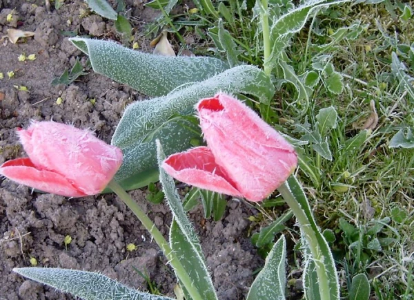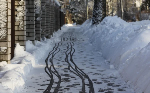
In the new week, winter weather conditions will persist in Latvia, but from the second half of the week, a warmer air mass will approach the territory of the country.
Monday: The sky will be mostly cloudy, but there will be some clearings. Snow is expected in places, with heavier snowfall at night — in some areas of Kurzeme, the snow cover will increase by 2–4 cm. A weak to moderate wind from the north will blow, gradually weakening throughout the day. At night, the temperature will drop to -10…-15°, and in Kurzeme to -5…-10°. In areas where the sky clears, the temperature may be a few degrees lower. During the day, the temperature will remain between -4…-9°.
Tuesday and Wednesday: There will be occasional clearings and the sun will peek out, with a significant decrease in precipitation — only on Tuesday is light snow expected in some eastern areas. On the night of Tuesday, fog will form in places in Kurzeme with a light wind, which will reduce visibility. On Wednesday, the southeast and east wind will strengthen during the day, becoming gusty — on the Kurzeme coast, gusts will reach 15 m/s. At night, the temperature will drop to -11…-16°, and on the coast of the Gulf of Riga to -5…-10°. During the day, the thermometer will rise to -5…-10° in most of Latvia, and on the Kurzeme coast near the gulf, it will be a degree warmer.
Second Half of the Week: As the influence of the low-pressure trough strengthens, the amount of precipitation will increase — snow is expected across Latvia, and in coastal areas, there may also be wet snow. Over the weekend, with rising atmospheric pressure, precipitation will decrease, but isolated drops of rain are possible in places. From the second half of the week, the frost will gradually weaken — on the seaside, the temperature will already rise above 0°.


