
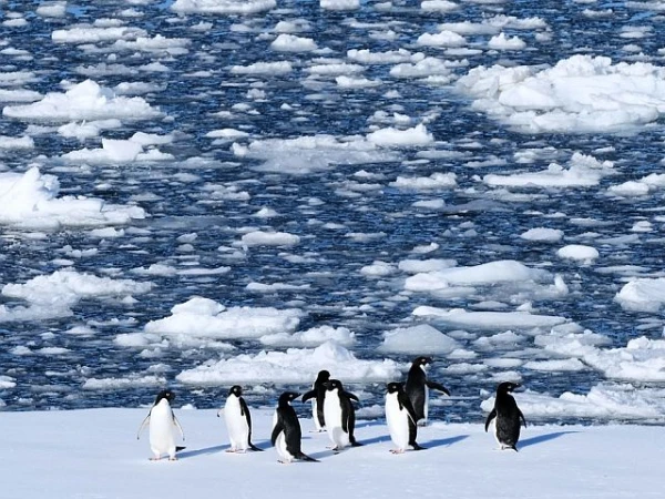
Meanwhile, several ice shelves have collapsed on the continent.
In a large-scale 30-year study, glaciologists from the University of California, Irvine, created a detailed map of the grounding line of the Antarctic ice sheet – the boundary where ice meets the ocean floor. Analysis of satellite observations over three decades showed that despite the overall stability of most of the continent, the most vulnerable areas are losing ice area comparable to that of Greater Los Angeles approximately every three years.
The work, published in the Proceedings of the National Academy of Sciences, indicates that since 1996, about 77% of the Antarctic coastline has remained stable – the grounding line there has hardly shifted. However, significant ice retreat has been recorded in West Antarctica, on the Antarctic Peninsula, and in certain areas of East Antarctica. In total, over 30 years, 12,820 square kilometers of grounded ice have been lost – an area roughly equivalent to ten territories the size of Greater Los Angeles.
On average, ice has retreated from the bed at a rate of about 442 square kilometers per year. The most noticeable changes occurred in the Amundsen Sea region and off the coast of Getz in West Antarctica, where glaciers have retreated by 10–40 kilometers. Specifically, Pine Island Glacier has shrunk by 33 kilometers, Thwaites Glacier by 26 kilometers, and Smith Glacier by 42 kilometers.
The study utilized data from numerous satellite missions – European, Canadian, Japanese, Italian, German, and Argentine. Commercial radar data obtained through NASA's collaboration with private providers also played a significant role. According to scientists, this has become an important milestone in the use of commercial radar imagery for studying polar regions.
Most instances of glacier retreat are attributed by scientists to the intrusion of warm ocean waters beneath the ice sheet. However, the movement of the grounding line in the northeast Antarctic Peninsula has yet to receive a definitive explanation.
In this area, several ice shelves collapsed even before the study began. The Edgeworth, Boydell, Sjogren, Bombardier, and Dinsmore glaciers have noticeably shrunk, while the Hector, Green, and Evans glaciers have retreated by tens of kilometers compared to their positions in 1996. The authors emphasize that data on the position of the grounding line is crucial for creating more accurate models of the ice sheet used for predicting global sea-level rise. Furthermore, the results help better assess the mass balance of Antarctica: confirmation of the high stability of 77% of the coastline allows for reconciling conflicting measurement data in East Antarctica and more accurately identifying areas of active ice loss in other regions of the continent.


Leave a comment