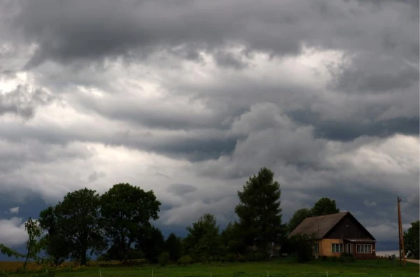
At the beginning of the week, the weather in Latvia will be dictated by an active cyclone moving towards us from the southeast. It's time to get out the umbrellas.
Monday and Tuesday will be predominantly cloudy. Rain will fall over most of the country, with heavy downpours and thunderstorms in some areas. On the night of Tuesday, precipitation will linger in the west of the republic, although by Tuesday afternoon it will noticeably weaken. Due to night and morning fog, visibility on the roads will worsen. Drivers should be more cautious. The wind is expected to be northern, mostly weak or moderate, but there may be sharp gusts during thunderstorms.
On Tuesday night, temperatures will drop to +14 degrees in the east. During the day, the air will warm up to +15…+20 degrees, and in the northeast, even up to +22. Traditionally, it will be cooler only on the coast.
On Wednesday, the cyclone will begin to retreat. The clouds will disperse, and the rain will shift to the eastern regions. The wind will calm down. The night before Wednesday will be cool, ranging from +5 to +9 degrees, but during the day it will warm up to +17…+22.
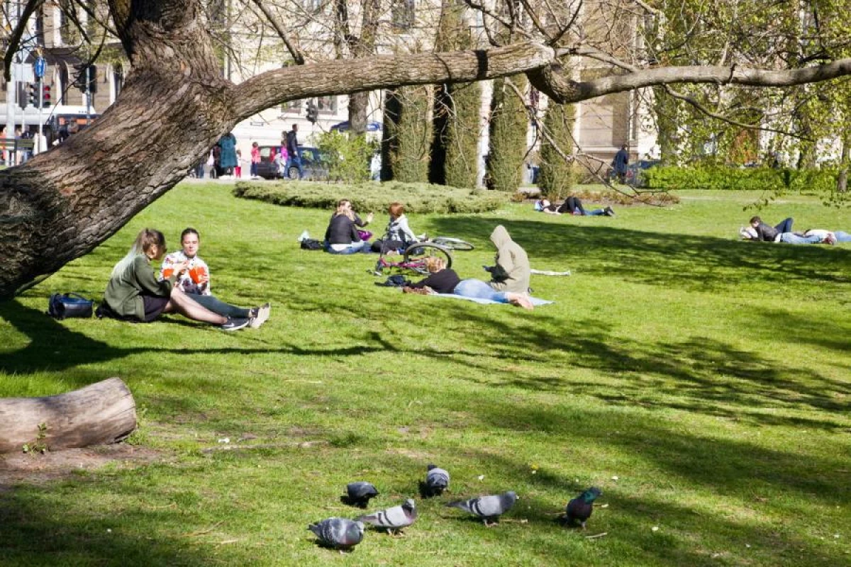
By the end of the week, warmth will cover almost the entire country. Night temperatures will no longer drop below +10 degrees, and during the day the air will warm up to +24. However, the weather cannot be called ideal - there will be more clouds, so the region will again be covered by periodic rains.