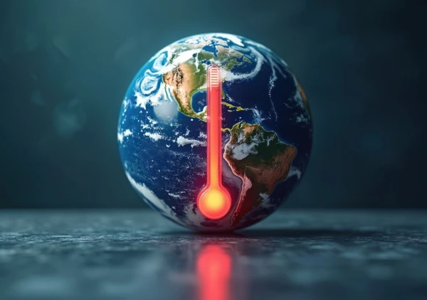
Climatologists warn: 2026 may go down in history as one of the warmest years, heralding a significant acceleration of global warming processes and new temperature records.
The beginning of this year has already been marked by unusually high temperatures: the first three months have entered the top four warmest in recorded history. This occurred despite the influence of La Niña, a climate phenomenon that typically contributes to cooling the planet. At the same time, the Arctic has recorded an unprecedentedly low level of sea ice, raising serious concerns among scientists.
Risk of a New Temperature Record
Climate experts predict that a powerful El Niño phenomenon may develop by the fall of this year. According to their calculations, there is approximately a 19% chance that 2026 will break all temperature records, becoming the hottest year in recorded history.
The authoritative analytical resource Carbon Brief, specializing in climate research, analyzed data from five leading scientific groups. Their forecasts indicate that 2026 is almost guaranteed to enter the top four warmest years, and it is highly likely to take second place in this unfortunate ranking.
It is expected that temperature increases will continue throughout the year. The peak of this process will likely occur in late autumn and winter when climate phenomena traditionally gain strength.
What is El Niño and How is it Measured
El Niño is a phenomenon characterized by the warming of waters in the tropical zone of the Pacific Ocean, significantly influencing global weather patterns. This phenomenon can trigger destructive droughts, large-scale floods, as well as dangerous marine heatwaves and other climate anomalies worldwide.
The intensity of El Niño is traditionally assessed by the sea surface temperature in the key Niño 3.4 region. An anomaly of 0.5 °C above normal already indicates the presence of El Niño, while a deviation of more than 1.5 °C signals a strong event, and over 2 °C indicates a so-called "super" El Niño.
According to current forecasts, the temperature in the region may rise by 2.2 °C above normal by September, corresponding to the "super" El Niño scenario. Typically, such extreme conditions peak between November and January.
If this scenario comes to fruition, the likelihood that 2027 will be the hottest year in the history of meteorological observations will significantly increase.
New Forecasting Model
Meanwhile, scientists from the University of Hawaii at Manoa have developed an innovative model capable of predicting El Niño and La Niña phenomena up to 15 months in advance. The study's author, Yuxin Wang, emphasized: "We found that it can predict El Niño and La Niña surprisingly well, with useful accuracy up to about 15 months ahead."
According to Wang, this long-term forecasting capability provides governments and local communities with a valuable tool. It allows them to prepare in advance for potential climate risks and significantly mitigate their negative impacts.