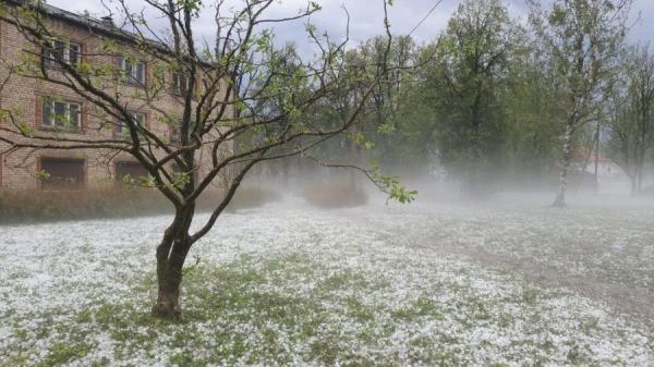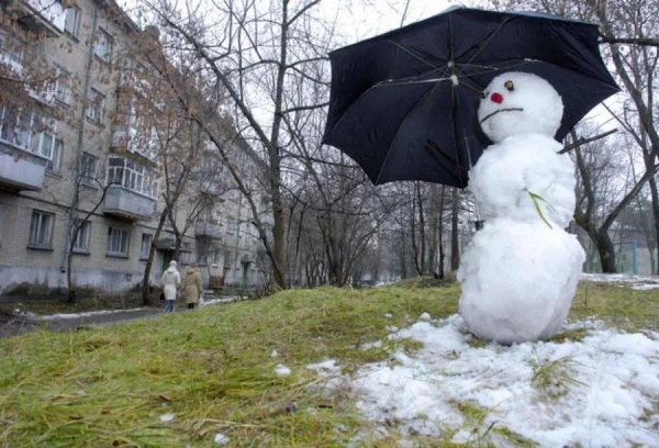
At the beginning of next week, precipitation — snow and wet snow — is expected only in isolated areas, predicts the Latvian Environment, Geology and Meteorology Centre.
In the second half of the week, clouds, snowflakes, and raindrops will bring precipitation to almost the entire territory of the country, and at the end of the week, a strengthening of the wind is possible.
It is also expected that in the last week of November, meteorological winter may begin in other parts of Latvia. Currently, meteorological winter has only arrived at the meteorological station in Alūksne.
On Monday, the sky will be cloudy, but in the western and central regions, the sun will shine at times. At night, a zone of precipitation will reach Latvia from the southeast — snow is expected in the eastern and some central regions. In some places in the eastern regions, the snow layer will be from two to four centimeters. During the day, snow is expected only in isolated areas, and rain is also possible along the coast. On certain sections in the east of the country, the roads will be slippery, and in some places during snowfall, visibility will be reduced. A light wind will blow, at night the air temperature will drop to 0…-4 degrees, and during the day it will warm up to -2…+2 degrees.
On Tuesday, the sky will clear up at times. If there is a little snow in some places at night on Tuesday, no precipitation is expected during the day. The roads will be slippery in isolated areas. At night, the thermometer will drop to 0...-5 degrees, and during the day, there will be a slight minus in most parts of the country.
On Wednesday, predominantly cloudy weather is expected, but in some places in the northwest, the sky will clear up. In the southeastern regions, there will be snow, and the snow cover will increase by two to four centimeters. A light to moderate northeast, north wind will blow. The air temperature at night and during the day will be similar to the temperatures in the first days of the week.
In the second half of the week, precipitation is expected over a wider area. At night, there will be slight frost in many places, and during the day, it will be colder mainly in the eastern part of the country. In the western part of the country and in coastal areas, the thermometer will often rise above 0 degrees. On certain days, with the strengthening influence of the cyclone, the wind will intensify — in the western and central regions, it will become more gusty, with the strongest gusts directly in the coastal areas, where they may reach 18 meters per second.

