At the beginning of the new work week, a colder air mass from the north will start to flow into Latvia, according to forecasts from the Latvian Environment, Geology and Meteorology Centre.
The weather will noticeably cool down not only at night but also during the day, and by the end of the week, in some areas, thermometers will drop to –5 °C at night.
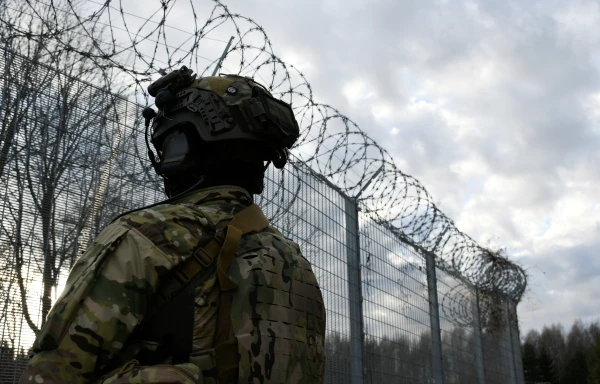
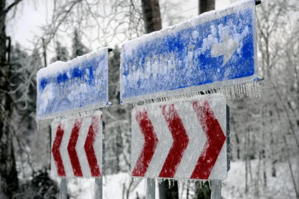
In the second half of the week, due to low temperatures, rain will be replaced by snowflakes in some places, and the problem of ice on roads and sidewalks will become more relevant.
On Monday and Tuesday, the sky will still be covered with clouds, which will occasionally bring light rain to most of the country both at night and during the day. At night, the air temperature will drop to +2…+6 °C, only a couple of degrees warmer on the coast, while during the day the air will not warm above +4…+9 °C.
On Wednesday, despite the sun peeking through the clouds in some places, light precipitation is expected in some areas, mainly in the west of the country. During the day, the southern and southwestern wind will strengthen, with gusts reaching up to 15 m/s on the coast. For a short time, slightly warmer air will flow into the country, and in some places, the temperature will rise above +10 °C.
In the second half of the week, an active cyclone will approach Latvia from the northwest — on Thursday, new precipitation zones will pass over the territory of the country, bringing more intense rain to most areas. The wind will shift to the west and northwest, and gusty winds will be felt almost throughout Latvia.
From Friday, the influence of the cyclone will begin to weaken, the air temperature will drop, and during the night hours of the weekend, thermometers in many places will fall below 0 °C. Although precipitation is expected only in some places by the end of the week, it should be noted that snow will join the rain, and there may be a brief formation of a small snow crust. Ice is possible on certain sections of the roads.